GovGeo Tech Solution logo GOVGEO TECH SOLUTION
Solutions Systems About Partners Portfolio Training Contact
QGIS SOLUTIONS FOR PHILIPPINE LGUs

Map every parcel. Collect every peso. Plan with confidence.

GovGeoTechSolutions builds QGIS-based systems for tax mapping, revenue collection, land use planning and disaster risk. Every system is built around how local governments actually work.

Para sa bawat LGU, mula Luzon hanggang Mindanao.

Request a demo Explore services
25Partner LGUs
6Bicol provinces mapped
100%Open-source QGIS, no license fees
SERVICES

Six solutions, one geospatial foundation

Each system runs on QGIS and connects to your existing records, so data entered once serves every office.

FLAGSHIP SYSTEMS

Trusted by municipalities across Bicol and beyond

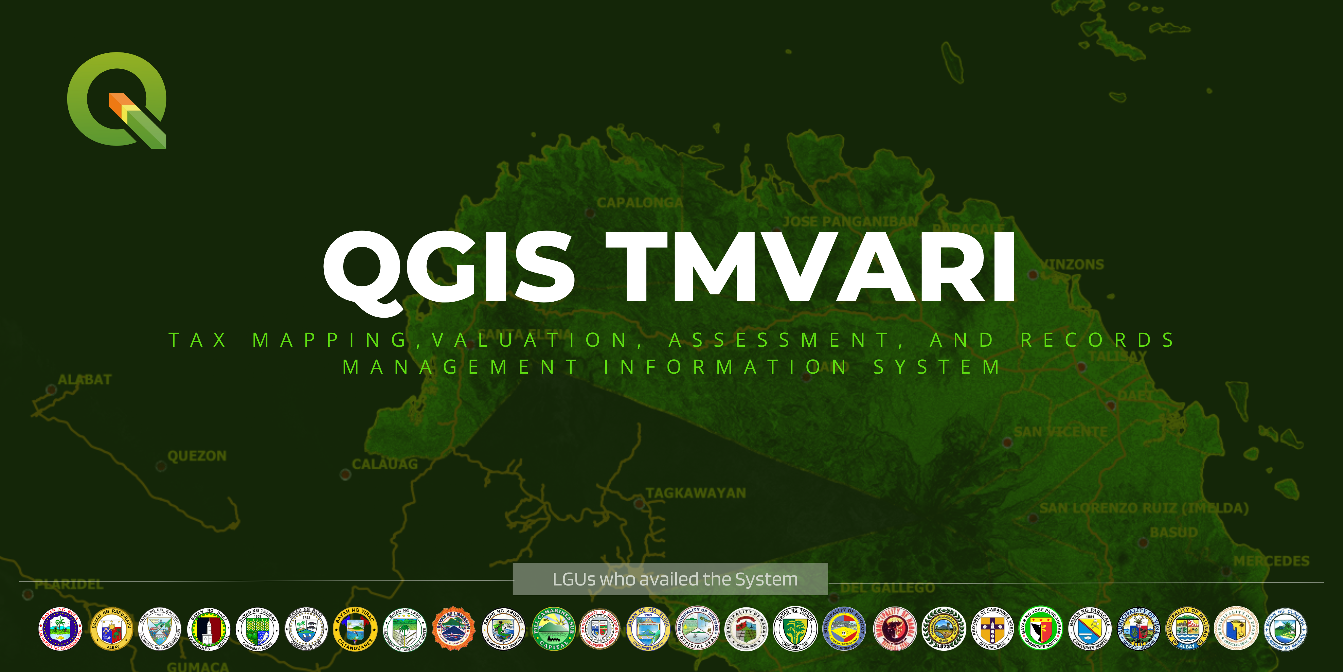
QGIS TMVARI: Tax Mapping, Valuation, Assessment and Records Management Information System, with seals of LGUs using it
QGIS TMVARI Tax mapping, valuation, assessment and records. Parcels, owners and values in one map.
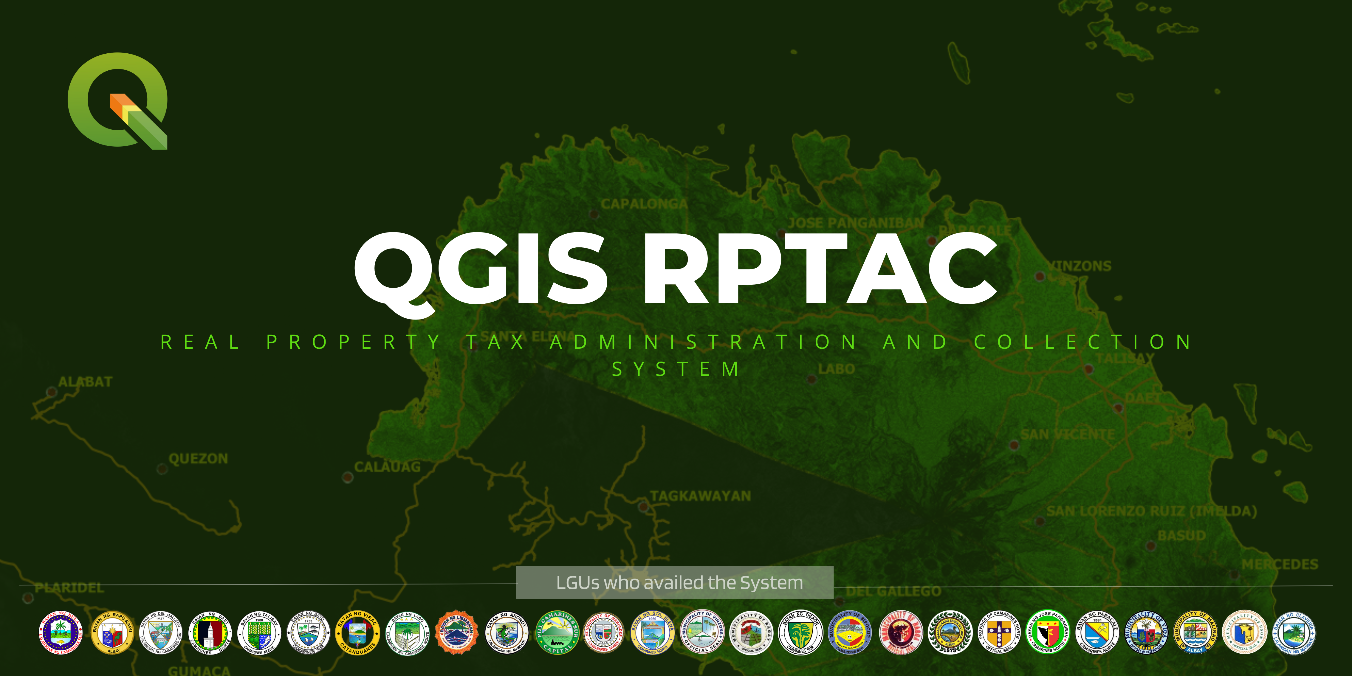
QGIS RPTAC: Real Property Tax Administration and Collection System, with seals of LGUs using it
QGIS RPTAC Real property tax billing, collection and delinquency tracking, linked to the tax map.
INSIDE THE SYSTEM
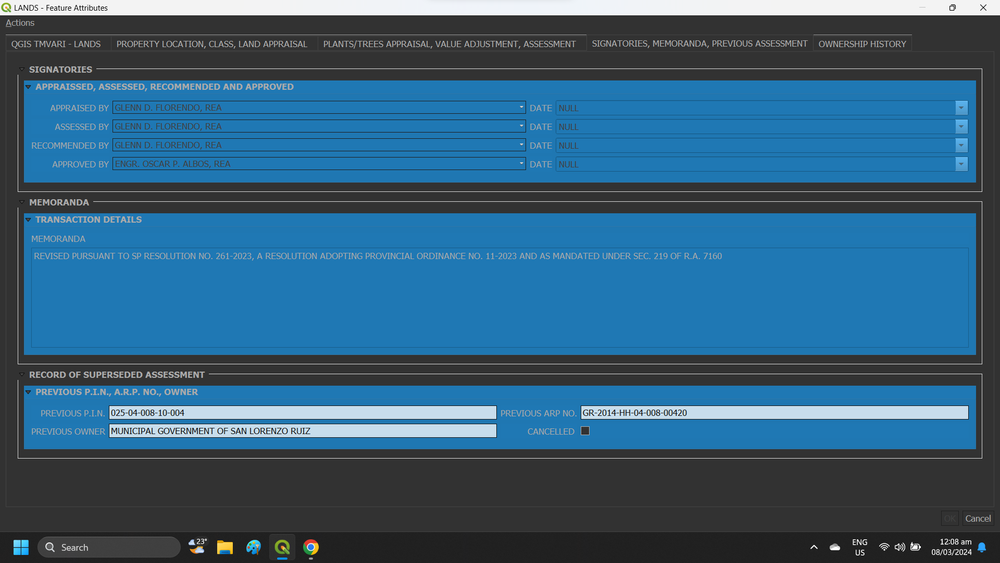
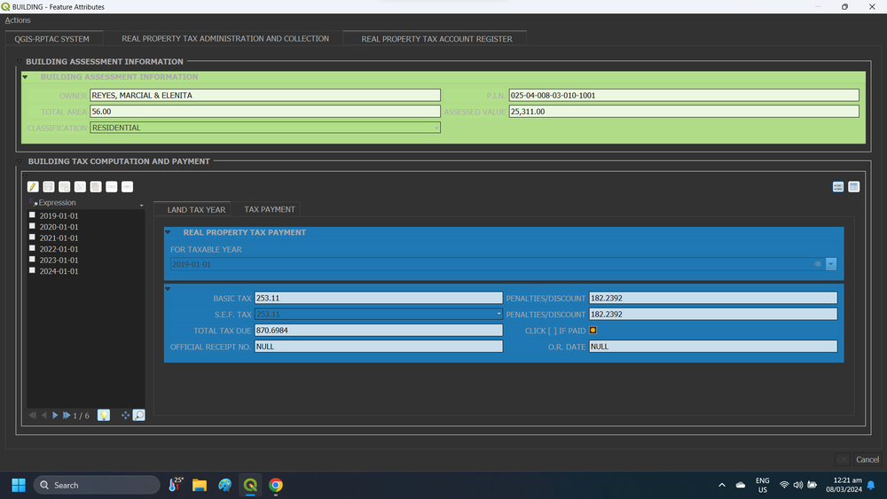
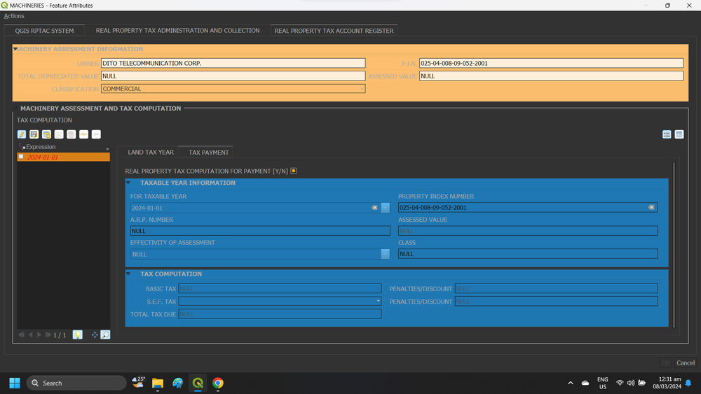
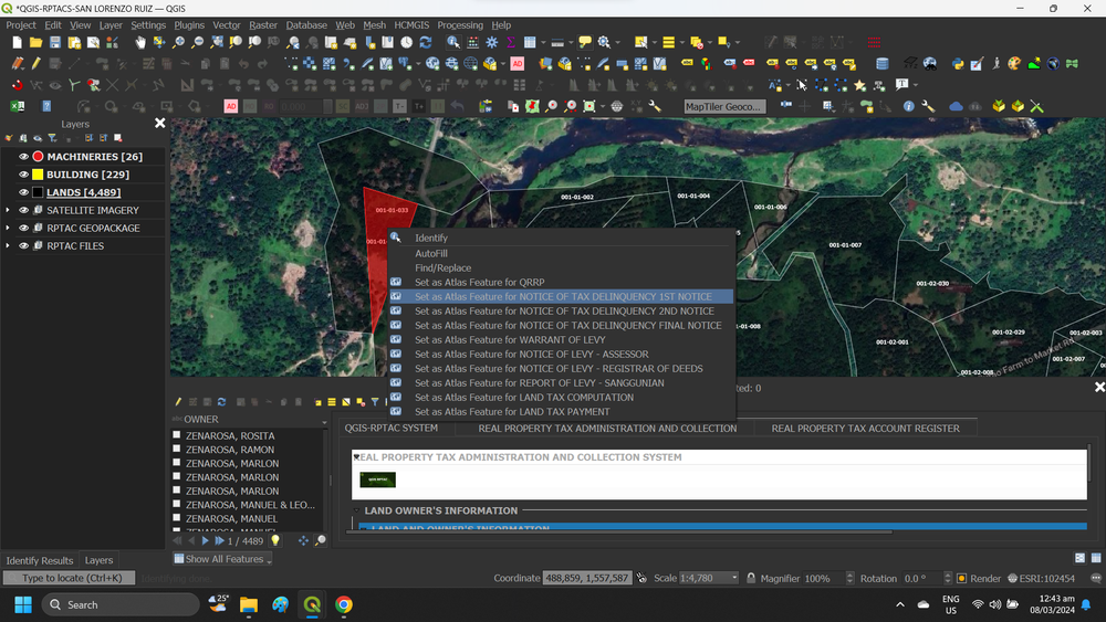
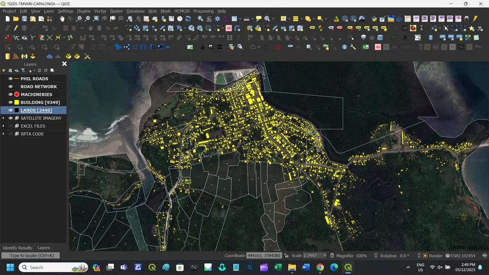
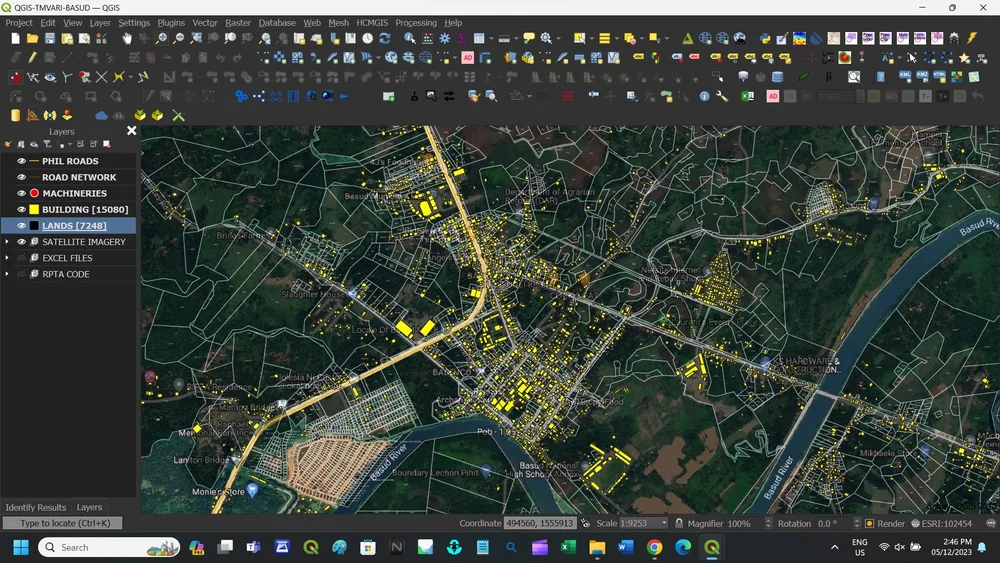
QGIS-TMVARI / RPTACS screenshot 1 QGIS-TMVARI / RPTACS screenshot 2 QGIS-TMVARI / RPTACS screenshot 3 QGIS-TMVARI / RPTACS screenshot 4

TMVARI and RPTACS share one database over your LAN. Assessment and collection records stay in sync, reports generate instantly, and field teams collect data with QField on Android and iOS.

ABOUT US

Geospatial technology, built for public service

Engr. Glenn D. Florendo, REA, at his office
Engr. Glenn D. Florendo, REA Founder · Municipal Assessor, San Lorenzo Ruiz, Camarines Norte · Real Estate Appraiser

We help government agencies turn location data into better decisions and better services. Our team pairs GIS expertise with first hand knowledge of how the assessor, treasurer, planning and DRRM offices work.

GovGeoTechSolutions was founded by a practicing municipal assessor. QGIS-TMVARI started as the tool he needed in his own office. Today it runs in LGUs across the Bicol Region.

Open sourceBuilt on QGIS, so there are no license fees per user.
LGU-readyAligned with national and local policy.
Full supportSetup, data migration, training and support.
PARTNER LGUs

25 municipalities across four provinces

These local governments run GovGeoTechSolutions systems in their assessor, treasurer and planning offices.

{{ p.province }} {{ p.count }}
  • {{ l }}
PORTFOLIO

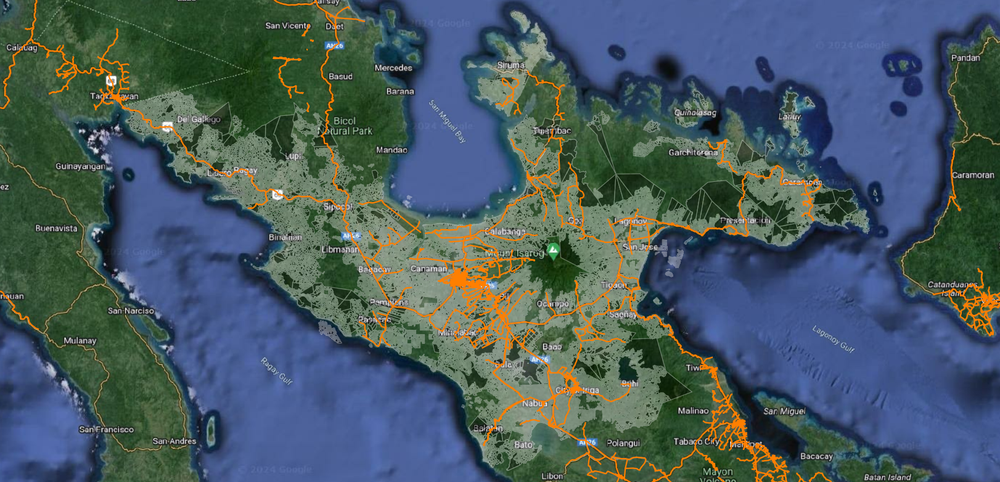
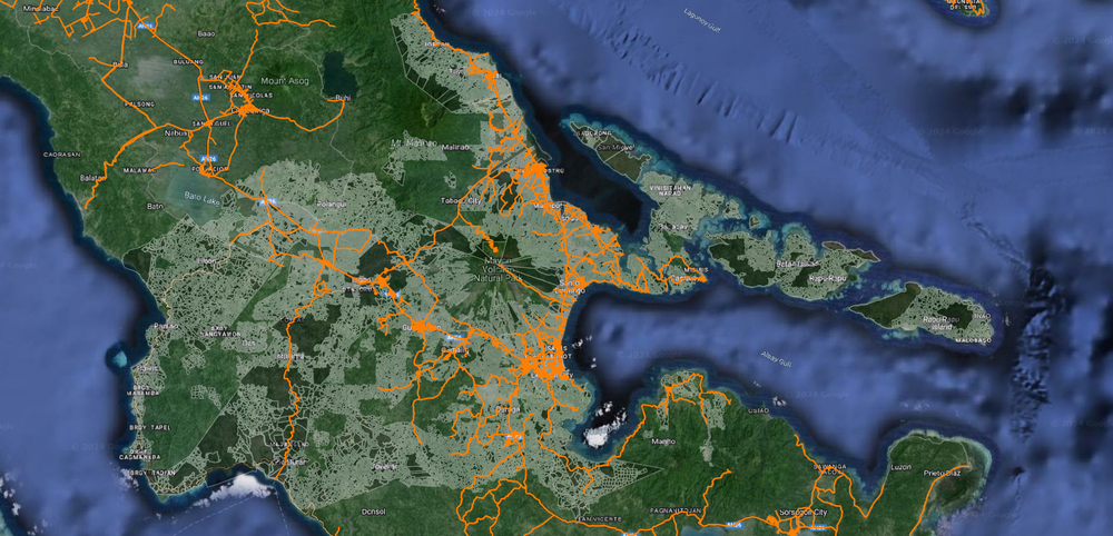
The complete Region V GeoPackage

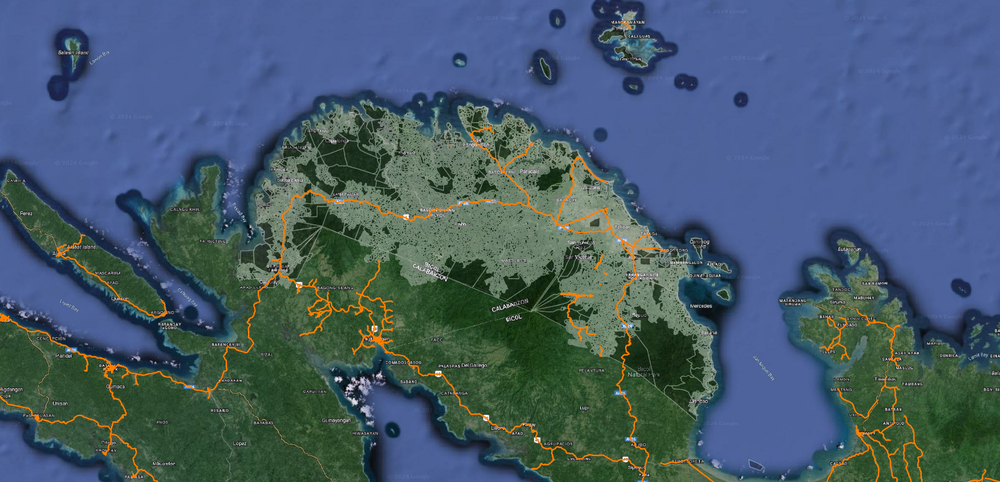
Our datasets cover all six Bicol provinces, including every component and chartered city. The data is ready to load into QGIS for your LGU.

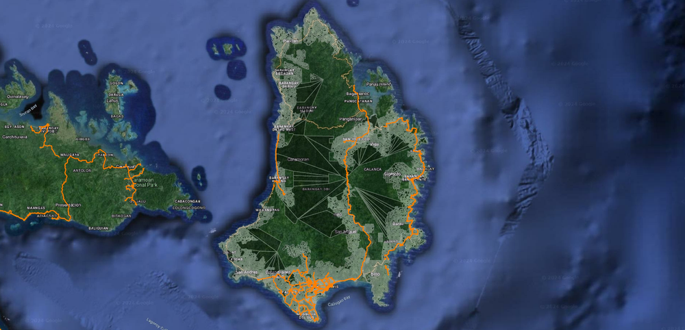
Province of CAMARINES NORTE map
PROVINCE OF CAMARINES NORTE
Province of CAMARINES SUR map
PROVINCE OF CAMARINES SUR
Province of ALBAY map
PROVINCE OF ALBAY
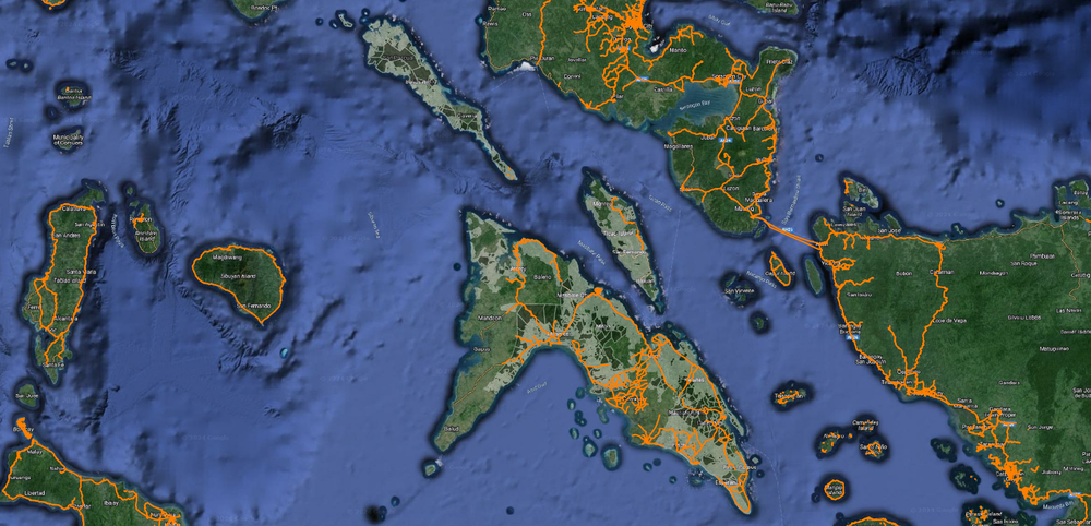
Province of CATANDUANES map
PROVINCE OF CATANDUANES
Province of MASBATE map
PROVINCE OF MASBATE
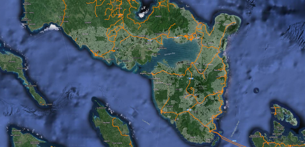
Province of SORSOGON map
PROVINCE OF SORSOGON
END-USER TRAINING

Your team, fully trained on day one

Every partner agency gets hands-on training in QGIS, satellite imagery analysis and the systems they use every day, so the tools keep working long after setup.

See more training photos on Facebook →
GovGeoTech training with LGU staff GovGeoTech training with LGU staff
FREE DOWNLOADS

Ready-to-use data for Bicol LGUs

SRTM elevation tiles

The Shuttle Radar Topography Mission, a joint NASA and NGA project, mapped 80% of the Earth's land surface at 30 meter resolution. These six tiles cover the Bicol Region and load directly into QGIS for terrain, slope and hazard analysis.

CONTACT

Let's talk about your LGU

Have a project in mind, or just exploring options? Tell us what you need and we'll reply within one business day.

Message us on Facebook
Thank you. We received your message. Our team will get back to you shortly.
Sorry, your message didn't go through. Please try again or message us on Facebook.